|
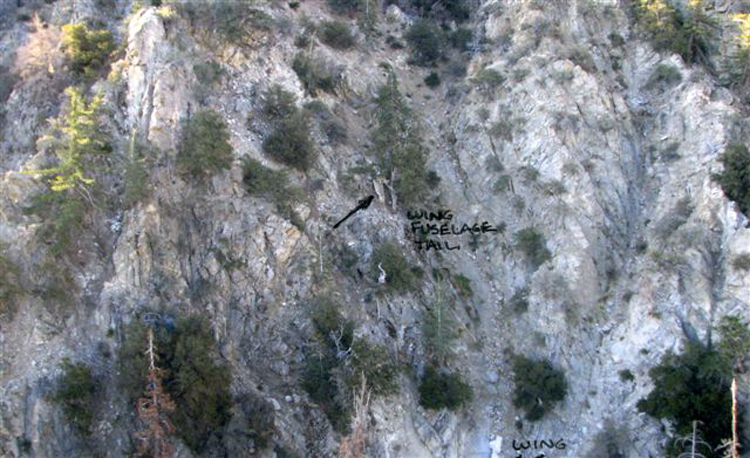
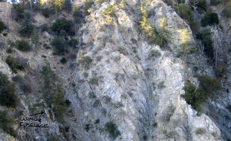
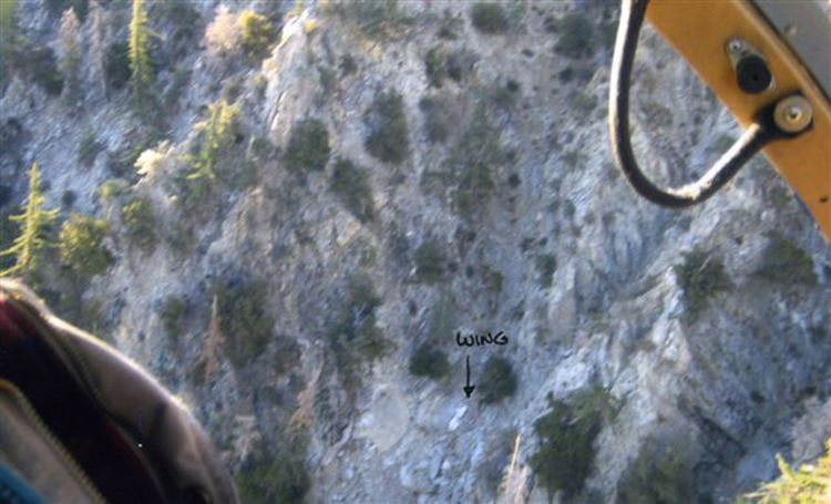
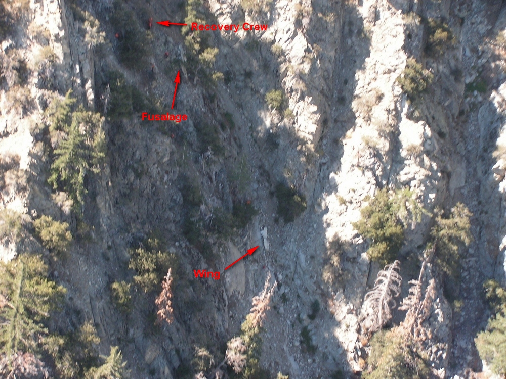
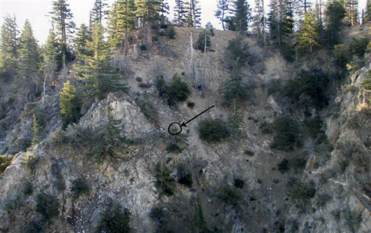
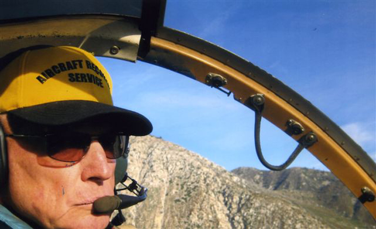
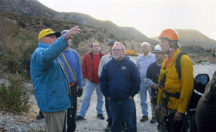
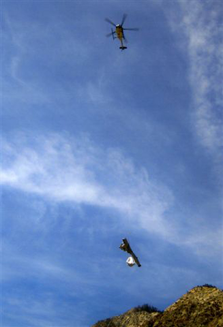
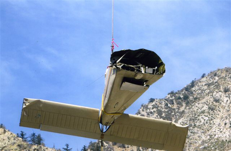
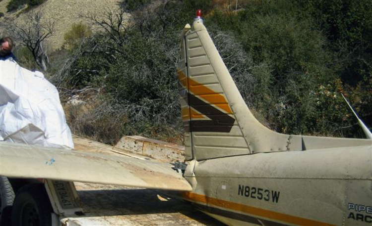
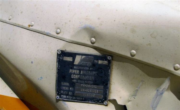
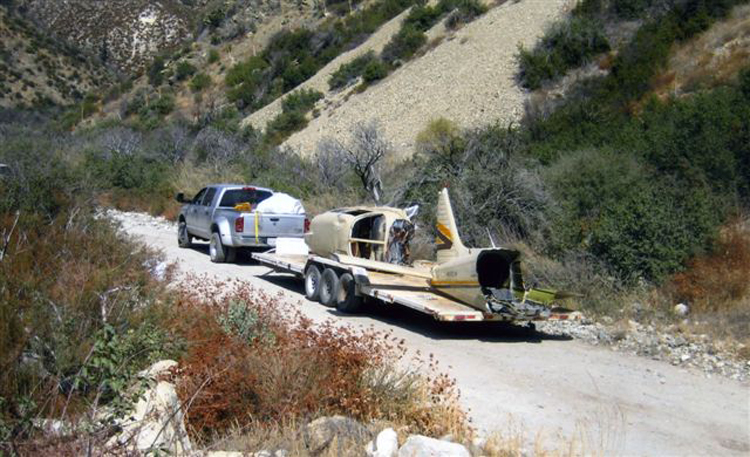
Aircraft Wrecks in the Mountains and Deserts of the American West PA-28 On the evening of June 3, 2001 twenty-four year old Daniel Katz went missing on a local flight from Perris Valley Airport in Riverside County to Brackett Field in Los Angeles County. The weather at the time included a deepening marine layer of stratus clouds common in Southern California at that time of year. The last known position of the Piper PA-28-181 Archer N8253W flown by Mr. Katz, the sole occupant of the plane was a radar contact over Lytle Creek very near the east end of the San Gabriel Mountains. Despite an extensive search effort lasting for several months no trace of N8253W was found. Through the intervening years intermittent air and ground searches were conducted. It was not until September 21, 2008 that a San Bernardino County Sheriffs helicopter crewman, on a routine patrol flight, spotted the wreckage of a small plane at 5,700 MSL on the north slope of a ridge east of Cucamonga Peak. A mountain rescue team accompanied by the county coroner was flown by helicopter to the ridge top some 300 above the crash site. The rescue team confirmed it was indeed the missing Piper Archer, and some remains of the pilot were recovered. How could this relatively intact aircraft remain missing for so long a time? The geography was one factor, the low visibility tan color of the aircraft was another, and the fact that no ELT signal was received following the crash. Two other aircraft were missing four years each in this same general area in the 1950s. Both of these planes were eventually found by hikers going overland off the trail. It is interesting that N8253W and Steve Fossetts plane were found within the same week. In the Fossett case it was hiker off the trail that made the discovery. Finally, for two families there is closure, just before the snows of winter would once again hide the aircraft and their pilots. It was a privilege for myself and several interested friends to observe the wreckage recovery effort on October 3, 2008. Special thanks to Aircraft Recovery Service, Western Helicopters, and Mr. George Peterson. I was impressed by the highly organized, professional manner in which this difficult mission was accomplished. Al of the wreckage was transported to a secure facility where NTSB investigators will examine every aspect of the Piper Archer. When their work is completed a public report will issued sometime in 2009.
|
||||||||||||||
|
|
||||||||||||||